
Jökulsá á Fjöllum (Iceland)
Length: 131 miles
Days: 4-7
Class: IV(V)
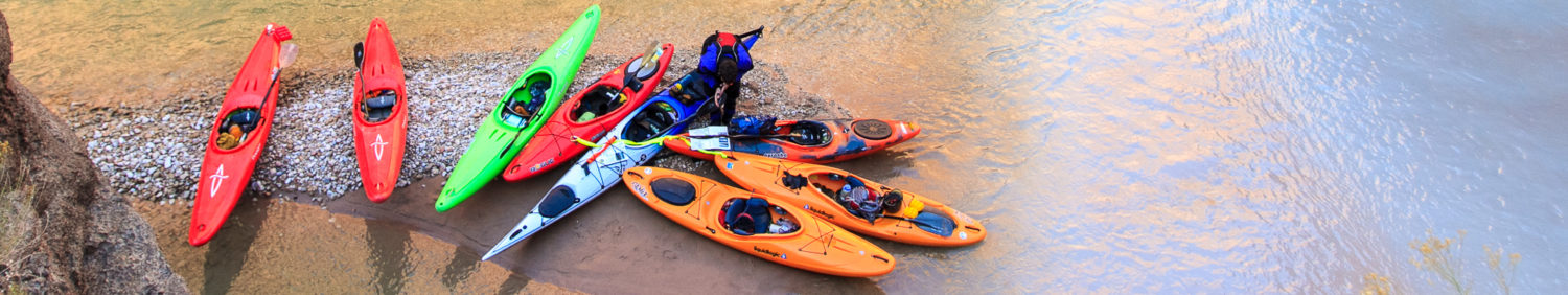
Craft: kayak, packraft, raft
Season: May-September
Permitted: No
Map: click here

Shuttle and Logistics
The whole river is about 130 miles. Much of it moves fast, but with Icelandic winds and a few slow, braided sections, five days felt like a good minimum for a full source to sea mission. There are a handful of access points throughout that would allow you to do a shorter trip and skip out on some of the less interesting sections. I’ll list the major access points here along with their approximate river mile, but there are dirt roads not far from the river for more than half the run, so other access points are certainly possible.
| Access Point | River Mile | Section Description |
| Sigurðarskáli Hut (at the source) | 0 | This section starts right at the glacier. It’s mostly braided class I-II with one good class IV, but the river goes through some relatively new (2014) lava flows making for very unique scenery. |
| F910 road bridge | 27 | There’s a junky IV/V rapid right under the bridge and then the river enters a 7km class III canyon reminiscent of the Owyhee, then there’s a fast open section with some good rapids, including a unique spot where the river cuts through a lava flow and has multiple channels. |
| F88 Waterfall Access | 41.5 | There’s a V-ish waterfall here with a parking area off F88. The river goes through a fun splashy canyon below the falls and then enters a long, slow braided section followed by a few IVs. |
| Highway 1 Bridge | 82.9 | There are a couple rapids, but the river is more or less flat from here to the beginning of the waterfall canyon (Selfoss). |
| Selfoss / Dettifoss Parking | 100.5 | The river cuts into a massive canyon at Dettifoss. Shortly below is Hafragilsfoss, another 100+ footer, and then a section of big water III-IV in a huge canyon before you get to the final waterfall, Réttarfoss. |
| Réttarfoss Parking (the road is not on Google maps, but you can definitely drive there) | 107.5 | This section is the whitewater highlight of the trip. From here to Hljóðaklettar, the river is continuous class IV big-water surrounded by the most surreal basalt formations I’ve ever seen. |
| Highway 85 Bridge | 121.1 | Below here, the river splits into multiple channels. The river-right one stays closest to the road, but its a shallow, braided mess that seems to always have a brutal headwind. Unless you’re committed to the full source-to-sea experience, I would take out at the bridge… |
| The Greenland Sea! | 131 | Huzzah! |
The shortest multi-day section I’d recommend would be from the F910 bridge to the Highway 85 bridge — about 90 miles, lots of good whitewater, one big portage. The canyon at the end is almost certainly doable (and worthwhile) as a day-run as well. The big portage and the braided sections make the idea of a raft-based multiday not that appealing, but you can drive the boats around the portage, so with proper logistics, it might be alright.
There are some raft and tourism companies in the area that may be able to help with shuttle if you ask around, but the start and finish of the trip are in such different parts of Iceland (and the start is way out there) that it may not be possible to work out shuttle without either a dedicated driver or setting it yourself with two vehicles.

Camping
Most of this trip is really far off the beaten Icelandic tourism path. You’ll only see people at the road crossings and at the major waterfalls. Particularly in the upper reaches of the river, expect there to be lots of opportunities for camping. There are plentiful black sand beaches and flat rock outcrops, and as you get further down the river, the banks become more vegetated.

The one area that’s a little troublesome is as you approach Dettifoss. The roads are fairly close on both sides of the river, so finding a secluded spot is challenging. We managed to find a nice basalt amphitheater on river right less than a mile from Selfoss; there were a few other spots that would’ve worked as well.
Flows
The river should be good for the entire summer season. It’s always a big river, but I doubt it gets too high (unless there’s a volcano erupting in the headwaters). I would recommend May through September to give your best shot at good weather, but earlier or later is certainly possible.

The Waterfall Canyon
Below the Highway 1 bridge, the river enters a canyon with a series of massive waterfalls. It starts with Selfoss, a 30’er, then cascades off “Europe’s most powerful waterfall,” Dettifoss, about 150′. Not too far downstream, Hafragilsfoss is another 100’er, then there are a few miles of mellower whitewater before Réttarfoss, a 20’er into a very narrow canyon. We portaged the whole set in one go on a beautiful trail river left, but you could also access the river below Hafragilsfoss relatively easily, paddle through the canyon to Réttarfoss, then portage at river level (or possibly run it). That would be my recommended route, especially with hard shells (vs. packrafts). Selfoss can be run, but note that running Selfoss commits you to getting out river right before Dettifoss, not river left. You can portage the canyon on the right, but accessing the river below Hafragilsfoss would be much more challenging and might be impossible.
The best whitewater (and scenery) is below Réttarfoss, so don’t miss that!

Words of Caution
This river changes a LOT. If you look at the Google Earth satellite imagery compared to our sample GPS track, you’ll see that in many places, the river is not in the same place it was. Lava flows block the river from time to time and variations in glacial melt change the volume pretty regularly. Many of the rapids are chunky waterfall entrances into basalt canyons. Approach horizon lines with caution and, particularly early on, stay close to your paddling partners as splitting into two different channels could easily separate you by more than a mile.

Links
- Nick Gottlieb’s 2018 Iceland Traverse trip report
- Luc Mehl’s Iceland Traverse trip report from 2015
- First descent video (1983)
- Viking Rafting — these guys helped out with the logistics for Luc Mehl’s trip and may be able to help with shuttle.


