South Fork Salmon River (ID)
Length: 53 miles
Days: 2-3
Class: III-IV (V at higher flows)
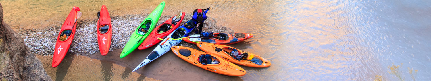
Craft: kayak, packraft, IK (low water)
Season: April-October
Permitted: Yes (free permit for paddling out the Main Salmon required)
Gauge: click here
Map: click here
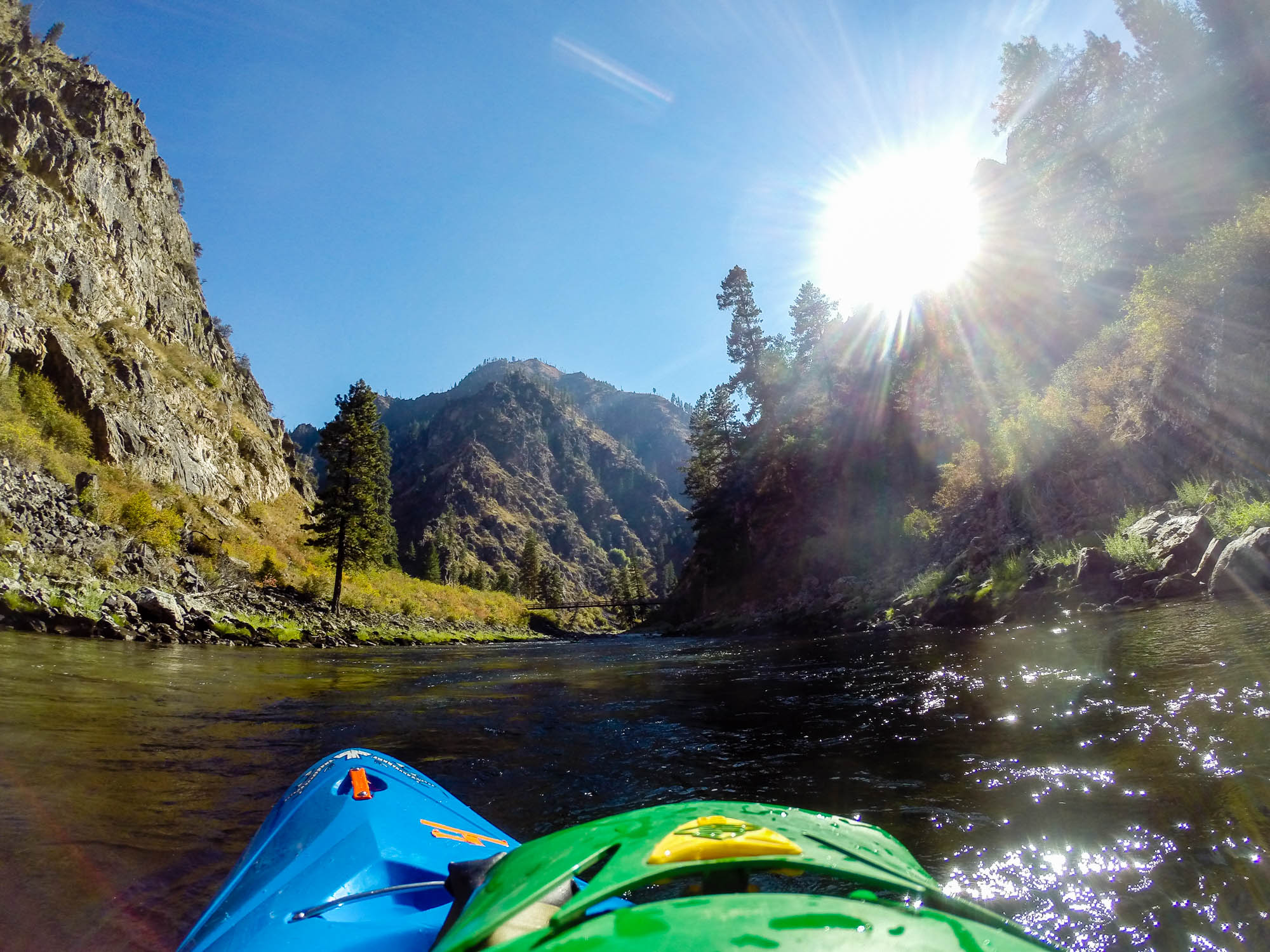
The South Fork Salmon makes up for what it lacks in length with beauty, camping, and whitewater. It’s one of the premier multi-day trips in Idaho, and that’s saying a lot. It’s more or less always runnable, from base flows to spring flood, and provides a very different trip depending on water level ranging from straightforward but fun class III to big water V+ expedition boating. There are also a number of tributaries that allow you to extend the trip — the Secesh, the East Fork of the South Fork, and “Goat Creek,” a section upstream on the South Fork — if levels are cooperative.
Permitting
The South Fork Salmon itself isn’t permitted, but there’s no road to the end of the river — you have to paddle 20 miles downstream from the confluence with the Main Salmon. The Main Salmon is a permitted stretch, but fortunately, paddlers on the South Fork can get a free tributary permit that allows them to paddle out the Main. Contact the Krassel Ranger Station at (208) 634-0616 to find out what the protocol for retrieving your permit is. In general, you need to get an actual physical permit at the McCall office.
Shuttle
The standard shuttle for the South Fork involves going out to Riggins from the takeout and around via McCall. This is the recommended route, and the map is shown here. It’s fairly long; if you can find someone in McCall or the surrounding area to run your shuttle, that’s a good bet. Raft guides on the Payettes are often open to making a little extra cash.
There are some other options depending on how adventurous you want your drive to be, and if you happen to be paddling the Secesh into the South Fork Salmon, you can run a shuttle that is miraculously half the distance of the run via French Creek Road.
On the Water
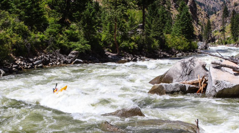
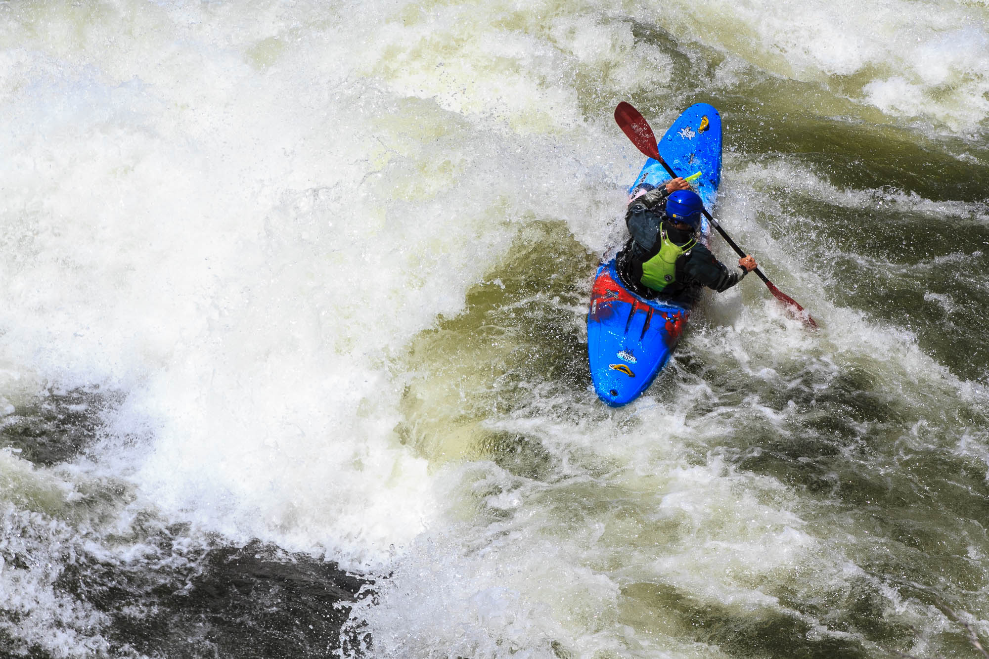
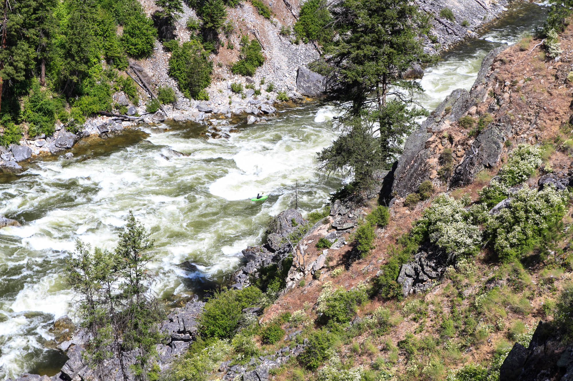
The South Fork Salmon itself is about 33 miles long with very little flatwater. The three largest rapids, in order, are Devil’s Creek, Mule Kick, and Fall Creek. Fall Creek is the biggest, but at high water, I’d argue that Mule Kick (and the following rapids) might be harder to navigate and would probably be difficult to portage. At high flows, those rapids are big water class V and many of the other rapids are also approaching that difficulty. At low flows (fall), most rapids are III-III+; Fall Creek might be a IV just because it’s long and technical. Most rapids would be portageable, at least in part, but there are some short canyon sections and at higher flows, it’s very continuous.
After the confluence with the Main, you have about 20 miles of more-or-less flatwater down to the boat ramp at Vinegar Creek. There are a couple fun high-volume rapids, but nothing to write home about after the South Fork. At high water, this can be done in about two hours, but at lower flows, expect it to take quite a bit longer (4+). If you’re lucky you might be able to hitch a ride with a jet boat.
Camps
The camping on the South Fork Salmon is limited, but very good. There are established camps on river right and left above Mule Kick (about 1/3 of the way into the trip), and some other nice camps above and below Fall Creek. There are certainly other options, too, especially with smaller groups and lower water. It is important to note that you are not allowed to camp on the Main with a tributary permit.
Flows
I’ve run the river at 1.75′ on the Krassel gauge and it typically doesn’t get lower than that. In a particularly dry year, it’s possible it could drop further; I’d imagine it would still be runnable, even in hardshells, a bit lower.
On the higher end, the gauge provides a pretty good reading of level, but it’s not a direct correlation because it’s above one of the largest tributaries (the Secesh). Above 5′, this is a class V trip. I’ve heard of it being run over 8′ and described as “bigger than the Stikine,” and I don’t doubt that. In the moderate range, from 3-4′, it’s suitable for intermediate boaters as mostly a class III-IV trip.
Links
- American Whitewater Description: https://www.americanwhitewater.org/content/River/detail/id/621/#main
- Trip report from 2015: http://www.nicholasgottlieb.com/2015/01/03/south-fork-of-the-salmon/

Hi there. We’re looking for a fall trip alternative to the Middle Fork since it’s on fire. Do you think the SF would still go at a low low flow of 1.45-1.5 ft?
Hey Chris, sorry for the late response here. Did you go for it? My guess is it would be passable, although the lowest I’ve done it is 1.75 ft.