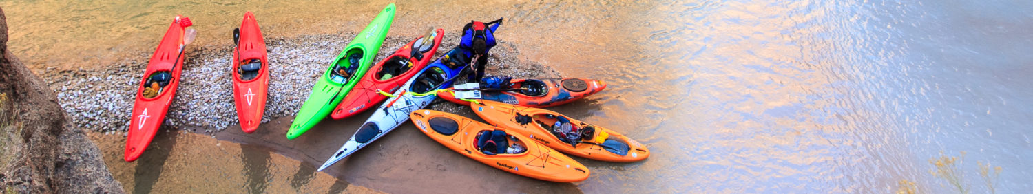

Petawawa River (Ontario)
Length: 55 miles
Days: 3+
Class: IV
Craft: kayak, canoe
Season: May-August
Permitted: Yes
Gauge: Petawawa River Near Petawawa
Map: Jeff’s Algonquin Maps
Additional Info & Guidebooks: The Petawawa River Guidebook, by George Drought (Friends of Algonquin Park, 2014) and A Whitewater Boater’s Companion to the Petawawa River by Matt Pascal (download)

Character
The Petawawa River begins deep within Algonquin Park and meanders east toward the Ottawa River as it drains a giant portion of the park’s interior. It can be paddled from Brent, a small camping outpost on Cedar Lake, for 89 km to the Lake McManus access site at the park’s eastern border. There are no facilities and only one remote road crossing for the entirety of the trip, so you’ll need to pack accordingly.
This is a flatwater expedition broken up by some awesome rapids. The “swifts,” or stretches with small riffles give way to lake crossings that are dead flat for miles, and if there is a strong wind against you it can sideline your trip while you wait out the weather. The rapids that break up the flatwater range from class I to thundering class V (in high water in May and early June), or technical when the water is low beginning in mid-summer. Those rapids are extraordinary, however, making all the flatwater worth it.

Permits
This section of the Petawawa is entirely within Algonquin Provincial Park. Entrance permits are required at the park office and camping permits must be obtained for the duration of your trip. More info on booking permits can be found here. Paddling past the Lake McManus take-out is illegal because there is a Canadian military reserve downstream.
Shuttle & Logistics
There are two options for a multi-day on the Petawawa. The “Full Pet” requires an exceptionally
long drive between Brent and McManus. Because of this, it is well worth spending the money for a shuttle service. There are two outfitters nearby, Algonquin Bound and Algonquin Portage.
Both outfitters can use your personal vehicle to drive you the 3+ hours to the put-in and then leave it for you at the take-out. If you do your own shuttle, you’ll need a full day just to get it set up, and another after getting off the river. Road access to both Brent and Lake Travers is very long on park-maintained gravel roads but can be driven with a regular 2WD drive car as long as the snow has been cleared. The drive to the take-out at Lake McManus is not as long.
| Section | Mileage | Whitewater | Notable Drops |
| Brent to Lake Travers | 25 | IV | MacDonald Rapids The Temptations Devil’s Cellar Poplar |
| Lake Travers to Lake McManus | 30 | IV(V) | The Crooked Chute |
The lower section of the Pet, from Lake Travers, has wonderful rapids and exceptional scenery, but it misses the best whitewater, which lie 5 km upstream from the Lake Travers launch. It is possible to hike-in and paddle this section, and then continue down to McManus. Read the downloadable pdf for details.

Camping
Camping in Algonquin is world-class, but so are the bugs. Be prepared and you’ll have a great trip. Determining how active the bugs are is worth a call to the park, and if they’re out you’ll need to be careful about selecting a site that is NOT in the woods if at all possible and exposed to a strong wind. The good news is that these sites exist (see the downloadable “Whitewater Boater’s Companion” for some recommendation). The bad news is that you often won’t know what you’ve selected at the park office until you’ve arrived at the campsite.
That being said, once you select a bug-free site, whether it’s along a fast-moving section of the river or on one of the Pet’s giant, pristine lakes, you may not want to leave. Firewood is everywhere, wildlife is abundant, and the world seems to make a whole lot more sense when you’re camping on the Pet.
If all of these warnings about bugs prompts you to bring along a bug house of some sort, you won’t be sorry.

Flows
Understanding flows on the Pet can be a challenge ahead of time because the gauge is downstream near the Ottawa River, and the lakes that the river fills and drains are so large that figuring out how much they are draining into the whitewater sections is a science nobody has seemed to fully grasp. When the flood comes through after the thaw in late April or early May, the river swells to over 600 cms, and it is likely to be very dangerous. Later in the summer, the river drops to around 50 cms, but by the time the gauge reads that low days will have passed in the section where you’ll be paddling.
It is important to consider that the Pet is never too high for a trip, because most of it is flatwater
and all the rapids – even the smallest ones – have park-maintained portage trails. At high water, the smaller rapids are likely to be a blast, but the bigger ones will have to be portaged. That’s no
reassurance if you’re planning a trip down the Pet for the whitewater, and so a call to one of the
outfitters is a good idea, but even they don’t always know what to expect. My recommendation: the Pet will be high in May, medium to late-June, and then technical through August. It probably gets too low at some point by September.

This article was contributed to CampingByKayak.com by Matt Pascal.


Hello, looking to be outfitted for 3 people to do the 3-4 day Petawawa river in the 1st or 2nd week of June, would need 1 canoe, 1 kayak, transportation, and possibly food. Please contact us so we can make the reservation and deposit, Scott Burns 516-314-4486 USA.