
Cheat River (WV)
Length: 36 miles
Days: 2
Class: IV
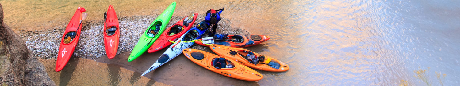
Craft: kayak, raft
Season: Year-round, rain dependent
Permitted: No
Gauge: Cheat River at Rowlesburg
Map: click here
Additional Info & Guidebooks: Canoeing & Kayaking West Virginia
The Cheat River was once an eastern whitewater hotspot and tiny Albright, WV, at the head of the class IV Canyon wilderness run, was its jumping off point. The list of names of the boaters who worked, played and, in some cases, stayed in and around Albright reads like an all-star roster: Walbridge, Snyder, Whittemore, and Backlund, to name a few. After pollution increased from abandoned mine blowouts along the Cheat, and new roads provided good highway access to more reliable whitewater, business began to dry up.
Restorations, primarily by the Friends of the Cheat (FOC), have improved the water quality but without the reliable, extended dam-released whitewater season of nearby Youghiogheny, New, and Gauley rivers, there is still little business on the Cheat. That’s great news for private boaters, because the well-known Narrows and Canyon sections of the Cheat offer a perfect two-day trip with little traffic.

Character
While commercial rafting is now minimal compared to the Cheat’s heyday, the river is well known to most private boaters in the region thanks to the very popular early May Cheat River Festival. The Narrows, a five-mile-long class II run with one class III punch called Calamity, is an exceptionally scenic mountain stream for being road-side. Below the Narrows is the Canyon, 9 – 14 miles long depending on where its boundaries are defined, which ranges from a superb boulder-strewn technical class III run at minimum levels, up to big water Class IV after some good rain. The entirety of the Canyon, and several miles beyond, is a profoundly picturesque Appalachian wilderness run.
The Narrows and Canyon are well documented and it is not worth reinventing the wheel here. There are dozens of rapids on the Cheat and American Whitewater and the Canoe and Kayak Guide to West Virginia are both great resources for those who don’t know the river.

Along the stretches where there are no rapids in the Cheat – that is, (a) above the Narrows, (b) between the two stretches, and (c) below the Canyon, get comfortable and focus on technique so that the miles will pass pensively. Specifically, here’s what to expect on those stretches:
- From the put-in at Rowlesburg, WV, it’s a few miles of swift class B/C flatwater (less than an hour even at low water) to the first rapids of the Narrows.
- Between the Narrows and the Canyon, the river has about 7 miles of mostly Class B/C flatwater. There is a dam at the abandoned power plant just upstream of Albright, which can be run on the far left at medium to high levels, but must be portaged at low levels due to the possibility of a broken boat. Fences and razor wire at the power plant necessitate a time- and energy-sucking portage on river right, and it is all but impossible to avoid private property. Tread very carefully.
- Below the Cheat Canyon proper (defined by the Jenkinsburg “high” bridge), the rapids continue for a few miles before gradually mellowing to Class A flatwater on Cheat Lake. It is then several more miles, or at least one hour and probably much more, across the lake to the WV DNR Ices Ferry access lot.

Shuttle and Logistics
The logistics for this trip are remarkably easy. Drop your take-out vehicle at the Ices Ferry access on Cheat Lake, and use the FOC put-in launch in Rowlesburg to start your trip. A call to the FOC and/or WV State Police with a description of the vehicles might be a good idea.
Camping
Once you’re in the Canyon, camping is everywhere. Known sites begin around Typewriter hole and continue through High Falls, though camping is possible nearly anywhere in the Canyon. Commercial rafting operators have used, and mostly abandoned, lunch spots that now work quite well as campsites. You might even get lucky and find a table made of 2×4s.
Flows
900 cfs at Rowlesburg is a good minimum for the Narrows, but more importantly kayaks will be able to float through the shallow sections of flatwater without bottoming out. In the Canyon, however, that same level will make for technical boating with hundreds of places for pinning a long canoe or kayak. Higher levels would be necessary for rafts.
This article was contributed to CampingByKayak.com by Matt Pascal.


Pingback: Laurel and Dry Forks of the Cheat River (WV) - Camping By Kayak